


Geography of Terceira
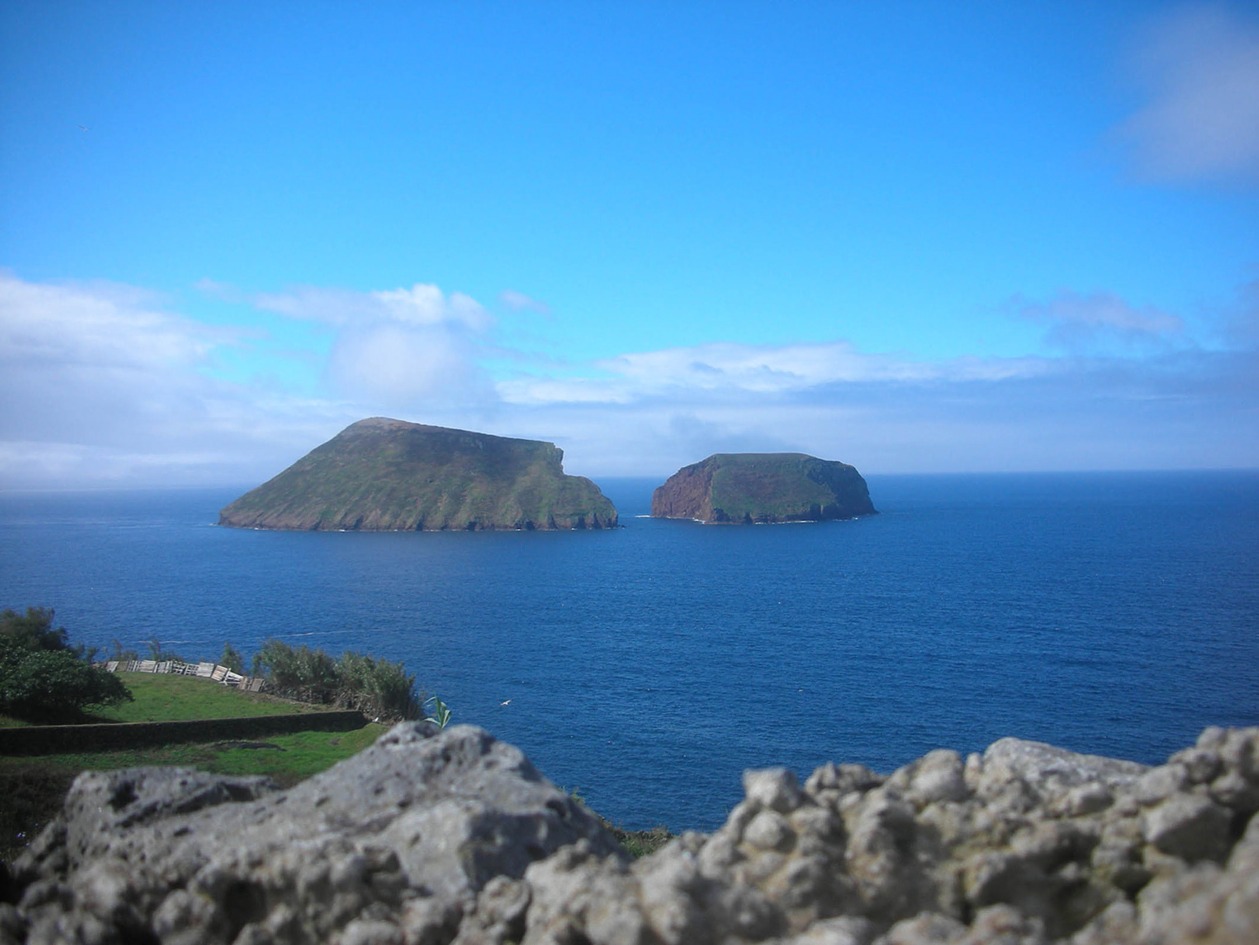
Terceira is one of the central islands of the Azores. It is the third largest in the archipelago (401 km2) and the highest at 1,021 m (Pico de Santa Barbara). The geomorphology is dominated by three massifs: Serra do Cume, Serra do Morião and Santa Barbara, with their respective calderas. All are the result of recent volcanism, and historical and sub-historical lava flows are located in various sectors of the island. The last eruption occurred in 1761. The coastline is rugged in some parts and rises to 150 m, particularly in the west, but is mainly undulating and features broad lava platforms that disappear into the sea. The two most important promontories are Ponta do Queimado, at the western tip, Ponta dos Biscoitos and Ponta do Mistério, in the north, and Praia da Vitória, at the eastern tip. On the southern side is the islet of Ilhéu das Cabras, an old volcano heavily eroded by the sea and split in two, and Monte Brasil, a volcano that was originally separated from the main island but is now linked by a tombolo or bar of sediments. Aside from the massifs, the island is mainly flat with a few volcanoes dotted along the east-west alignment.
Average annual rainfall in low-lying areas is round 1,100 mm, but in the mountains and central regions it can rise to 2,500 mm, which again shows how relief and vegetation density can significantly affect precipitation. Like the other islands, sunny days are few and far between, except on the coast and in summer. The pattern of rainfall favours the growth of ample pasturelands, which remain green practically all year round.