


Geography of São Vicente
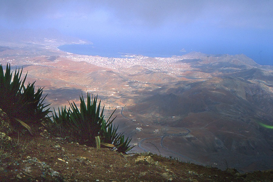
São Vicente (227 km2) is second in importance after Santiago and is considered the ‘capital’ of the Barlovento Islands. At 774 m, Monte Verde is the highest point and Mindelo the island capital. The landscape is relatively flat, particularly in the centre, west and some areas in the north, while heavily eroded slopes and mountains feature in the south and northwest. Extensive dunes fields are found towards the east in the Calhâu–Praia de Palha Carga area, and Lazareto–São Pedro, to the west, as well as in Baía de Salamansa and, to a lesser extent, Baía das Gatas, in the north. The only examples of recent volcanism are visible to the south of Calhâu (Topim sector), where there is a very large well-preserved volcano and several lava flows penetrating the sea. In contrast, the rest of the island shows signs of heavy erosion, evident in the stark mountains and peaks that dot the landscape. Several beaches of organic sand stretch along the coast at São Pedro, Salamansa and Mindelo, while the southern, northern and northwestern tips feature cliffs that tower up to 200 m at certain points. The climate is generally arid, with an annual average rainfall of below 200 mm. However, the considerable influence of the northeast trade winds make Monte Verde a much cooler area. In good years, rains can be plentiful, giving rise to a fleetingly verdant landscape.