


Geography of São Jorge
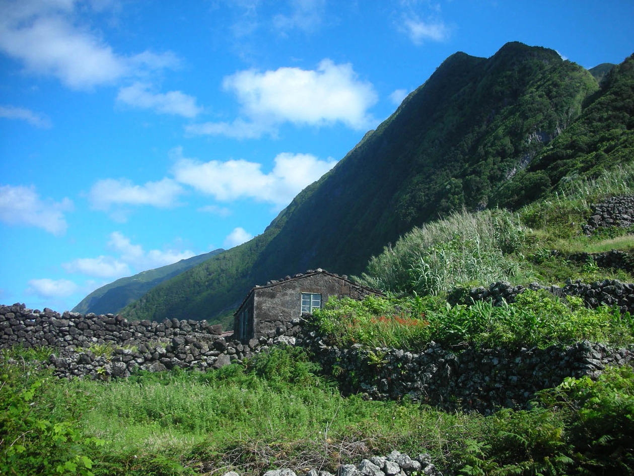
São Jorge (246 km2) is one of the central islands of the Azores. It is long (65 km) and very narrow (8 km), like a knife. The highest point is Pico da Esperança at 1,053 m, and Velas, the capital, is situated on the south coast. The two extremes of the island are Ponta dos Rosais, in the west, and Topo, in the east. One of the most striking features of São Jorge is its magnificent coastal relief. Towering cliffs can reach up to 300-425 m, particularly on the north flank, which is rather more precipitous than the south. Fajãs or low platforms usually form at the foot of the cliffs and often contain lagoons that may be supratidal or tidal. Two fine examples are the fajãs of Santo Cristo and Cubres, on the northern flank. Another interesting feature is the alignment of volcanoes from the west to the centre, which forms the structural axis of the island. There have been several episodes of historical volcanism down the centuries; the highest regions have a gentler relief and several areas of quite extensive flatland, in stark contrast with the coast.
The climate is similar to other islands in the central group. Average rainfall exceeds 1,000 mm in low-lying areas and increases with altitude, and the average sun index is low. The rugged nature of the terrain and the oceanic location—also true for many islands in the Azores—frequently leads to dense fog formation. Rainfall is more than sufficient to ensure green pastures all year round.