


Geography of Santo Antão
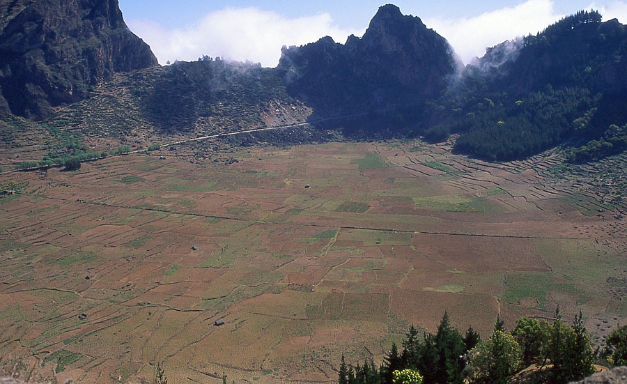
Santo Antão is at once the westernmost and northernmost island of Cape Verde, as well as being the second largest (779 km2) and second highest island (Tope da Coroa, 1,979 m) in the archipelago. Ribeira Grande, the capital, is located on the north side. The terrain is extremely rugged, which makes Santo Antão one of Cape Verde’s most precipitous islands. Prominent cliffs (300 m vertical drop), deep ravines and valleys, and a chain of peaks and mountains are the main features of the landscape. However, in the south and west sectors, stretches of gently sloping terrain are mostly the result of recent volcanism, with dunes largely composed of mineral (basaltic) sand deposits. Santo Antão has one of the highest rates of precipitation, with the arrival of the monsoons in summer and autumn, as well as rain fronts from the north. Moreover, the shape of the island and its position to windward in the archipelago mean that it comes under the influence of the northeast trade winds, which makes for cooler temperatures. Average annual rainfall is around 475 mm, but can be higher in north-facing areas at altitude.