


Geography of Santiago
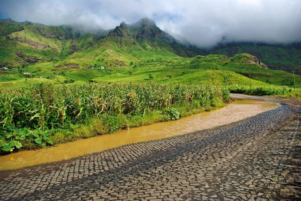
Santiago is the capital island and the largest (991 km2) in the archipelago of Cape Verde. It is distinguished by a broad network of ravines and valleys, whose source lies in the two massifs or mountain chains of Serra do Pico da Antónia (1,064 m) and Serra da Malagueta (1,392 m), the highest point. The magnificent cliffs of Baia do Inferno are located in the western sector and tower to over 400 m in some sections. The east coast, however, is generally low-lying, with intertidal zones and pebbly beaches of black sand; beaches of golden sands are few and far between. A striking aspect of the geomorphology of Santiago is the absence of recent lava flows, while well-defined volcanic cones are infrequent. Erosion has evidently played a major role in recent millennia, in comparison with important volcanic action on other islands, Fogo in particular. Several valleys (especially on the southern flank) are heavily gravelled and U-shaped, which clearly points to the much greater age of these ravines, compared with others that are V-shaped. Rainfall is irregular, although it has been plentiful in recent years and the island landscape had been clothed in green from August-September to November, with the arrival of the monsoons. The highest annual averages are recorded in Serra da Malagueta, where they can exceed 650 mm. Logically, the highest temperatures are reached in low-lying areas, particularly in the south of the island.