


Geography of Santa Maria
Santa María (97.5 km2) is situated around 102 km from the south of São Miguel and is the easternmost island in the archipelago of the Azores. Pico Alto (567 m) is the highest point. Vila do Porto, the capital, is one of the oldest towns in these islands and still preserves the original houses built by the first settlers.
Santa María is the closest to Europe (at 1,370 km) and the first of the Azores to emerge around 8.12 million years ago.
The climate is similar to the rest of this group of islands, but the northeast trade winds play a major role and the sun index is higher; neighbouring São Miguel enjoys comparable weather.
Santa María was discovered at the same time as São Miguel, around 1427, and was also one of the first islands to be settled, especially by colonists from the Alentejo and Algarve regions in the south of Portugal. Even today, the typical Alentejo chimneys atop traditional houses are a testament to this fact. The current population stands at 5587 inhabitants (2001 census).
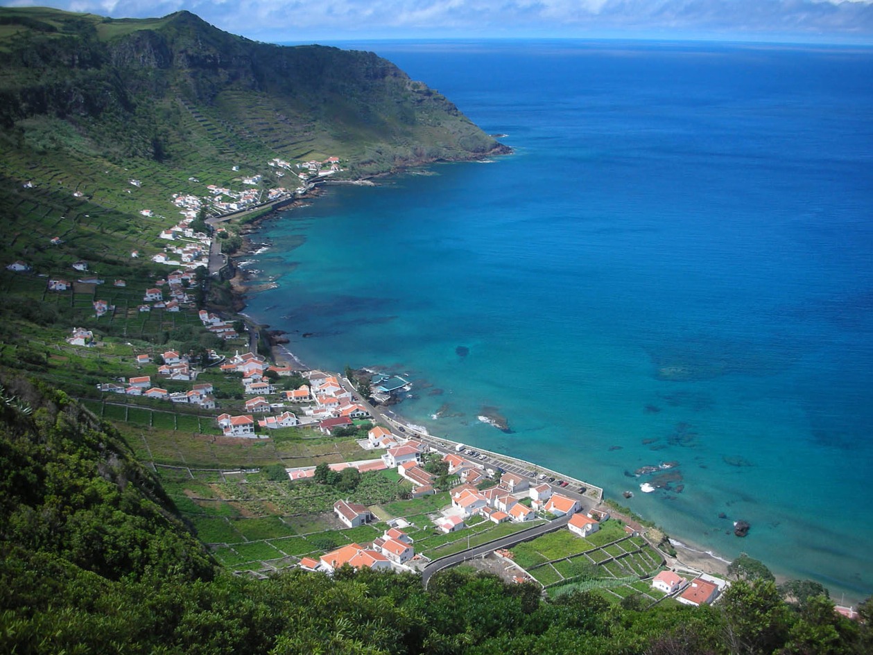
The economy of Santa María is largely based on the same sectors as the rest of the archipelago. Wine-growing on terraced hillsides is particularly important in many areas, including the beautiful bay of São Lourenço. In the past few decades, tourism has grown considerably and it is now possible to find persons from many different places in this the easternmost island of the Azores.