


Geography of Santa Luzia
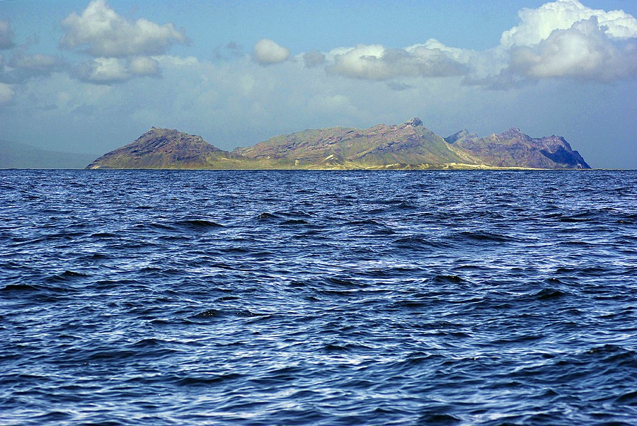
Santa Luzia (35 km2), the smallest island in the archipelago of Cape Verde, is part of the Barlovento group of islands and is currently uninhabited. At 395 m, Toponha or Monte Grande is the highest point and is located at around 9 km from São Vicente, the nearest inhabited island. In the north and south, the geomorphology is dominated by long sandy beaches and large dunes of eolian sand deposits, while the most precipitous mountainous area is located in the western half, where a substrate of sands is overlaid by another of rocks and stones. Although annual rainfall is unknown, given the semi-arid nature of the islet, it must be similar to average values for São Vicente.