


Geography of Porto Santo
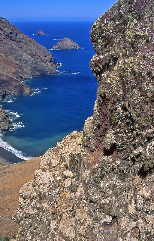
Porto Santo (42.2 km2) is located 39 km northeast of Madeira. The landscape of flatlands, mountains and isolated peaks, gently sloping ridges, sandy beaches and dunes shares similar geomorphological features with the easternmost Canary Islands. The southern arc of the island is almost entirely covered by a beach of white sands that stretches over 9 km. On the north coast high cliffs exceed 200 m, particularly between Pico do Concelho and Pico Branco. The highest point on the island is Pico do Facho (517 m), followed by Pico Branco (450 m), Pico do Castelo (437 m) and Pico do Concelho (324 m). A spacious plateau stretches over the central area and connects with other peaks and high ground in the southwest sector, notably Pico de Ana Ferreira at 283 m.
The climate is much drier than Madeira and similar to São Lourenço or the Desertas Islands, albeit with less rainfall, higher temperatures and a higher sun index than Madeira.