


Geography of Pico
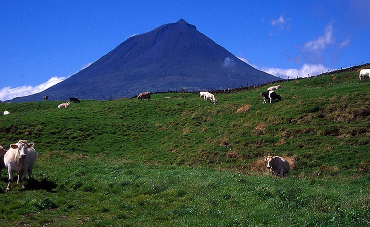
Pico (opposite Faial and São Jorge) is one of the central group of islands in the Azores. It is the second largest (446 km2) and the highest in the archipelago (2,351 m). The volcano that crowns the island is the most outstanding geomorphological feature of the landscape and one of the most important landmarks in the entire archipelago. This stratovolcano has no surrounding caldera and rises above an extensive central plateau. The coastline is rather undulating, except for several sections in the north that barely reach 100 m. There are, however, numerous low-lying platforms such as Ponta do Mistério, Ponta da Rocha, Ponta do Castelete and Cachorro, in the north, and Lajes do Pico, in the south. In fact, practically all the southern shoreline is low and of recent formation. Several islets lying off the coast in front of Madalena, the capital, are the remains of a fragmented, sunken hydromagmatic volcano, heavily eroded by the sea. Because Pico formed more recently, long tongues of lava extending into the sea can be found at several points along the coast: São Caetano – Ponta da Faca and São João, in the south, Manhenha and Ponta do Castelete, in the east, and Calhâu, Prainha, Ponta do Mistério and Santo António, in the north.
The climate is very similar to that of other central islands in the Azores. Average annual rainfall is around 1,195 mm but increases considerably at higher altitudes, producing frost and snow on Pico volcano in winter. Temperatures are milder along the coast, where the sun index is also higher, particularly on the southern flank.