


Geography of Maio
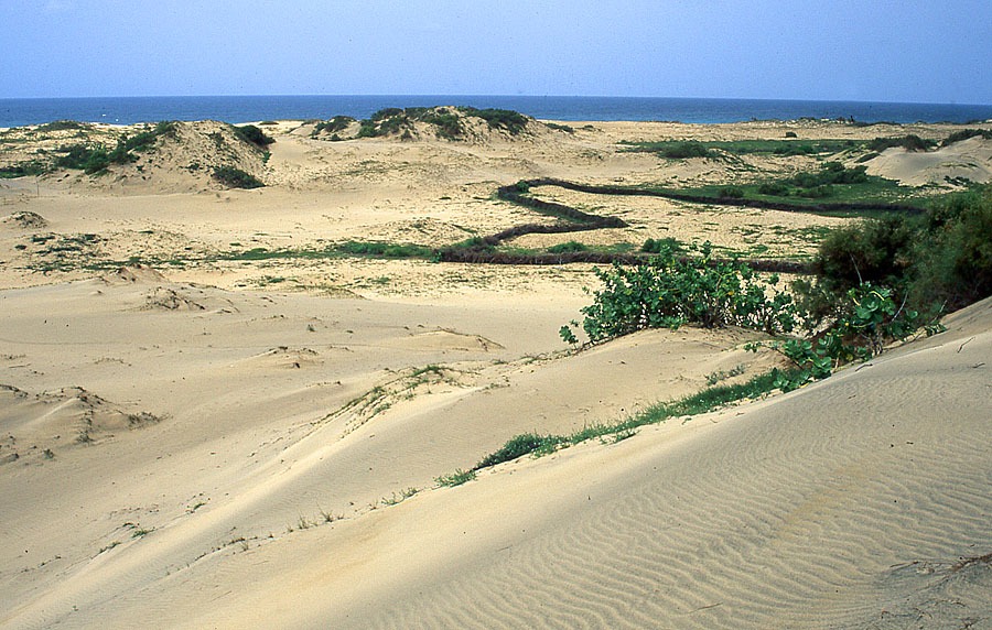
Maio (269 km2) is relatively flat and similar to Sal and Boavista, where wide stony plains, dune fields and sandy beaches are the main features. The highest point is Monte Penoso, at 436 m altitude. Since Maio is one of the oldest islands in the archipelago and has undergone no recent volcanic events, erosion has fashioned a stark landscape with very few high elevations. Apart from Monte Penoso, the only other high points are Monte Forte (312 m) and Monte Batalha (294 m). There are, however, several saline depressions near the shoreline (especially at Vila do Maio-Morro, in the south, and Terras Salgadas, in the north), which fill with tidal waters. As Maio is a low-lying island and relatively close to the African coast, temperatures are notably higher than on the more mountainous islands of the archipelago. It is also frequently beset by what is known locally as ‘dry mist’ or the dust-laden harmattan wind that blows across from the Sahara. Rainfall is low with an annual average of 370 mm.