


Graciosa Island (Azores)
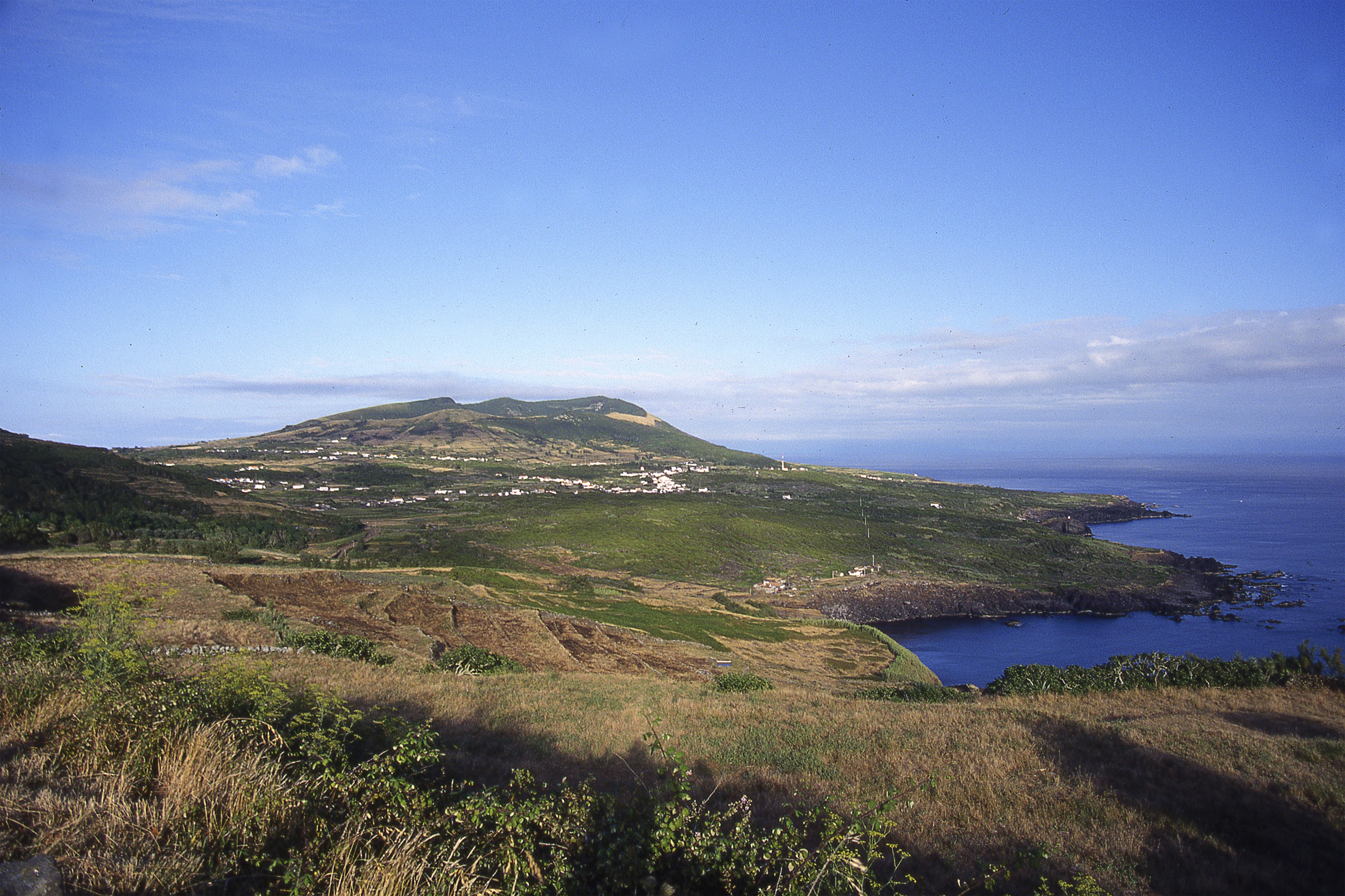
Graciosa is the northernmost island of the central group of the Azores. It is the second smallest (61 km2) at just 12.5 km long and 8.5 km wide. An island of gently sloping terrain, it is also the lowest (the highest point is Pico Timão, at 398 m asl) and the least rugged in the archipelago. However, cliffs at Serra Branca on the south coast rise up to 300 m. Other areas of the coast feature low-lying platforms that extend into the sea, such as Baia da Caldeirinha–Porto Afonso, in the west, Ponta da Pesqueira, in the north, and Lagoa and Carapacho, in the south. The southwestern sector is dominated by the caldera-like crater of Caldeira, located in the highest area of the island. There are also two important islets: Ilhéu de Baixo, off the southwestern tip, and Ilhéu da Praia, in the north. Recent volcanism is noticeable in the west-east and northeast-southwest alignments of cinder cones, the caldera mentioned above, and the malpaíses or badlands visible in several areas of the island.
Graciosa is considered to have the driest climate in the archipelago, but its low altitude and terrain make it incomparable to the rest of the Azores. Average annual rainfall varies between 878 and 1,105 mm, according to the two meteorological stations located in low-lying areas (30 and 50 m above sea level, respectively). As is the norm in the Azores, prevailing cloud cover means that hours of sunshine are very few, the maximum being in August and the minimum in December. The average annual temperature is 17 ºC, with minimum variations thanks to the influence of the sea.