


Geography of Faial
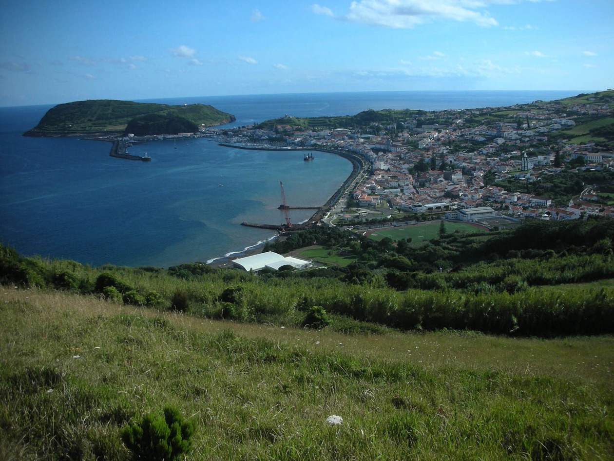
Faial (173 km2) is one of the central islands of the Azores and the fifth largest. The central peak of Cabeço Gordo is the highest point at 1,043 m. A large crater, Caldeira, surrounded by sheer walls and measuring 1.5 km in diameter is one of the most impressive volcanic edifices in the archipelago. The coastline of the northern flank and western sector is distinguished by cliffs rising to over 200 m, while the southern flank is more gently sloping. Other natural monuments include the black sand beaches (basaltic in origin) of Horta and Almoxarife, a phonolitic piton (Morro de Castelo Branco) and Monte da Guia, a submarine cone that eventually connected to the main island by a tombolo or bar of sediments. Monte da Guia is very close to the capital, Horta, which boasts the only beach of golden sands on Faial. Several sizable ravines are located in the western sector and Ribeira Funda is the largest. In contrast, most of the island is relatively flat, although several small and medium-sized volcanic cones break the monotony of the landscape. Capelinhos volcano, located in the western tip of the island, is the result of eruptions from 1957 to 1958. At first, it was separated from the coast but gradually connected to the main complex, enlarging Faial by more than 1 km2. Another historic eruption of note occurred in 1672.
The climate is very similar to the rest of the Azores. Average annual rainfall is around 1,200 mm, but higher in the interior, fog cover is frequent in mountainous areas and there are few days of sun. However, the weather in Horta and other south-facing towns is considerably better.