


Geography of Cape Verde
The archipelago of Cape Verde, located at some 500 km to the west of Dakar (Senegal) and 1,300 km south of the Canary Islands, is composed of 10 islands and several islets, spread over 4,033 km2. From an administrative, and partly geographical, perspective, there are two groups of islands: the Barlovento Islands of Santo Antão, São Vicente, Santa Luzia, São Nicolau, Sal and Boavista, and the Sotavento Islands of Maio, Santiago, Fogo and Brava. There are also several sizable islets, including Branco and Raso, situated between São Vicente and São Nicolau, and the Ilhéus Rombos, between Fogo and Brava. The islands vary considerably in size, from the smallest, Santa Luzia (35 km2), currently uninhabited, to the largest Santiago (991 km2), home to the capital of the archipelago. The highest point is the volcano of Pico Novo or Pico de Fogo (2829 m), on the island of Fogo, whose relatively small size (476 km2), in comparison with its height, gives it one of the highest surface versus altitude ratios in the Atlantic.
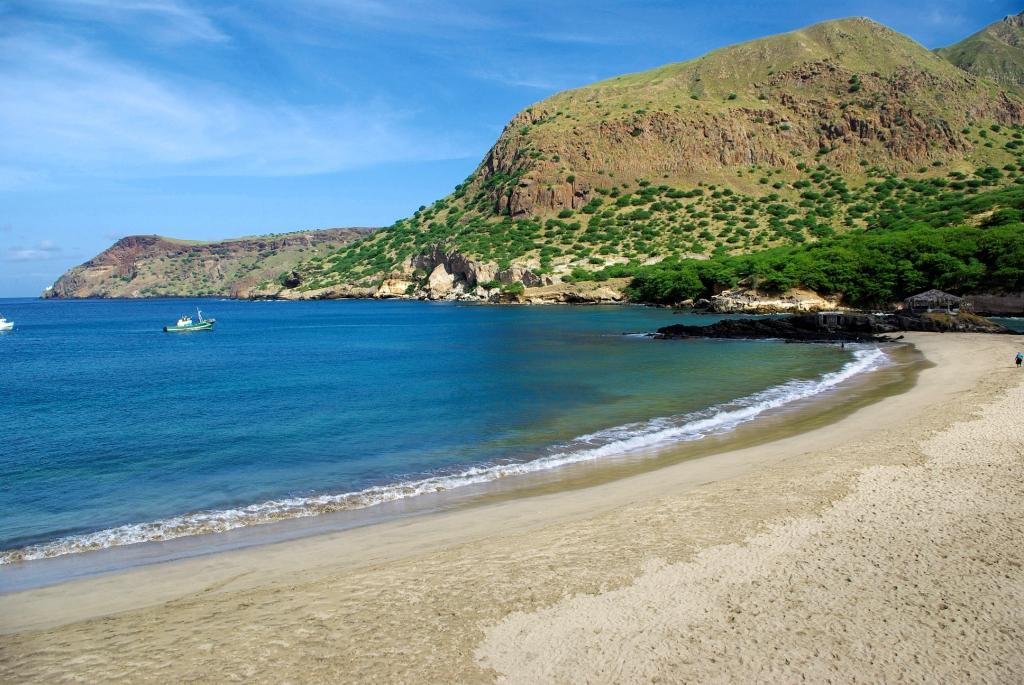
The geomorphology of the archipelago is quite distinct. Some islands are flat and low-lying, such as Sal, Boavista and Maio in the east, while others are particularly mountainous with sheer slopes, such as Santo Antão, São Nicolau, Santiago, Fogo and Brava, or are a mixture of both extremes, such as São Vicente and Santa Luzia. The three easternmost islands have broad stony plains, sand dunes and long beaches of golden sands, while Santo Antão, São Nicolau and Santiago feature tall cliffs, deep ravines and valleys, and some mountain masses. The distinguishing factor between Fogo and the other islands is its recent volcanism and numerous historical eruptions—the latest in 1995.
Cape Verde is located in the tropical belt of the Sahel and is heavily influenced by the monsoon rains that affect this sector of the African continent generally between August and October or November. The archipelago is also influenced by the prevailing northeast trade winds that blow strongly between winter and late spring and result in a clear drop in temperature, compared with the rest of the year. Visibility is also improved, as outside of this period the Saharan harmattan (hot dust-laden air) brings what is known locally as ‘dry mist’.